For my research project at Las Cruces Biological Station, I will hopefully be focusing on measuring potential ecosystems services Las Cruces provides as a water filter for the streams affected by runoff from nearby agriculture and other anthropogenic land use. Ecosystems services, or the benefits that a healthy ecosystem provides to humans, are an important topic in environmental management because that can be quantified and translated into a monetary value. Las Cruces is surrounded by a lot of agricultural and other anthropogenic land use. As a protected area, it is already providing countless ecosystems services to the human population. Some examples include carbon sequestration, air purification, noise dampening, and aesthetic benefits.
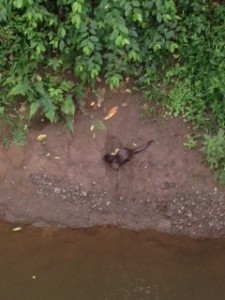
There are numerous rivers and streams that run through Las Cruces, many of which previously run through agricultural land. This land has been cleared, for the most part, of forested areas. “If the forest is removed from hilly country, the slopes are destabilized and landslides and mudslides run rampant, destroying roads and losing valuable soil in the process.” (Tropical Nature 1984) Mush of this soil is lost as runoff. Agricultural runoff following rain events (which are especially frequent in the rainy season) can contain contaminants such as pesticides, other chemicals, and particulate matter. This runoff then gets in to streams an can seriously impact both the animal species that utilize the river (for example, the Neotropical otter, pictured below) and also humans that use the river. Often times, natural areas can act as a filter systems and so the idea is to see if this applies to the stream system at Las Cruces.
In order to do this I will sample 12 sites total along 6 different streams of two different land use types. I will sample before and after a rainfall event. In order to see if the stream quality changes throughout the protected area, the sample sites will be as close as possible to where the stream enters and exits the park. Water quality will be measured using at least stream discharge and mass of suspended particulate matter. Hopefully, depending on the available lab equipment more measurements can be taken such as pH, temperature, and turbidity. These sites will all be analyzed to create an average quality for each site and to see how each stream changes. Then streams of the same land use will be compared and finally streams of different land use types will be compared to see if there is a significant difference in stream quality when it enters and leaves Las Cruces based on land use type. This will provide some indication of the ecosystems service of the streams within a protected area.
